Hiking in Grindelwald: how it works
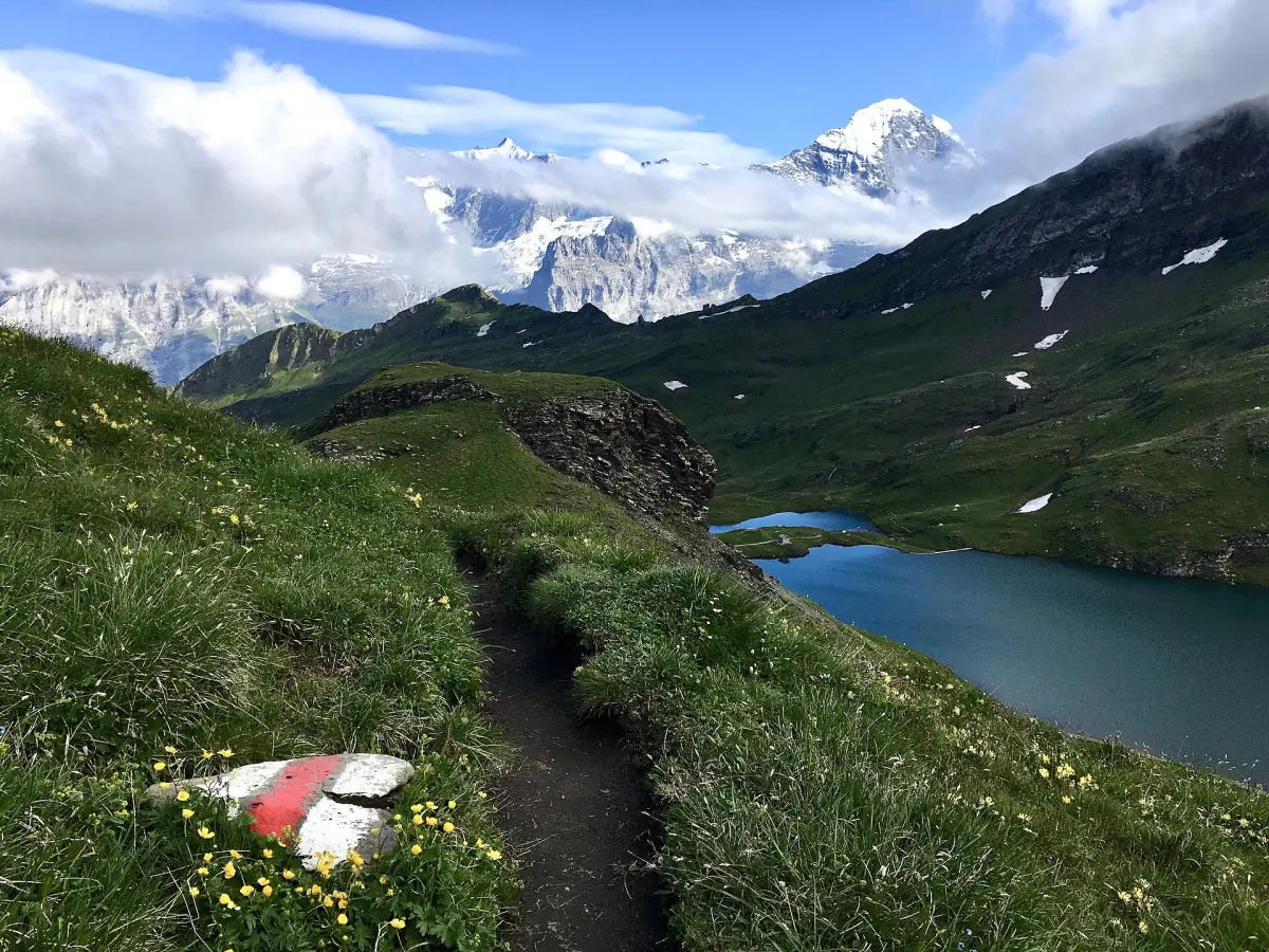
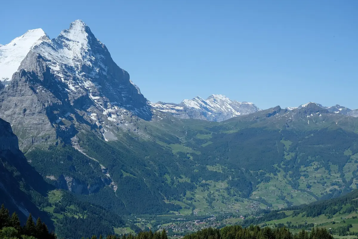
Grindelwald has around 300 km of marked summer trails. The village itself sits at 1,050 metres, so most popular hikes start higher up: at First on the north side of the valley, at Männlichen on the ridge towards Wengen, at Eigergletscher below the Eiger north face, or at Pfingstegg above the south edge of the village.
That makes the lift part of almost every plan. Check your pass before you choose a route: the Jungfrau Travel Pass covers First, Männlichen and the Eiger Express, while Pfingstegg is only discounted. With a Half Fare Card or Swiss Travel Pass, First, Männlichen and Pfingstegg cost half.
Grindelwald hikes compared
Figures from the lift operators, Grindelwald Tourism and the Jungfrau Railways. Where no official grade is published, we say so instead of guessing.
| Hike | Distance | Time | Difficulty | Lift needed |
|---|---|---|---|---|
| First to Bachalpsee | 5.8 km return | 1 h 40 min, about 2 h with stops | Easy, 202 m up and down | First gondola |
| Royal Walk | 2 km return | 25 min up, 15 min down | Short climb of 120 m, no official grade | Männlichen gondola |
| Männlichen to Kleine Scheidegg | 4.5 km | 1 h 20 min (2 h the other way) | No official grade, mostly downhill in this direction | Männlichen gondola up, train down |
| Eiger Trail | 6.1 km | About 2 h (2 h 30 min uphill) | Medium, 779 m down | Eiger Express up, train from Alpiglen |
| Pfingstegg to Milchbach | Not published | About 1 h | Sure footing needed, rockfall zones | Pfingstegg cable car, bus back |
| Pfingstegg to Bäregg | 5.58 km loop | 1 h 30 min one way, 2 h 30 min to 3 h return | No official grade, 428 m on the loop | Pfingstegg cable car |
| Schynige Platte to First via the Faulhorn | 16 km | About 6 h | Medium | Schynige Platte railway up, First gondola down |
Guided hikes and lift tickets in Grindelwald
Guided walks, gondola tickets and day trips for hikers, with live prices and availability.
We may earn a commission when you book through links on this page, at no extra cost to you.
Bachalpsee: the easy classic from First
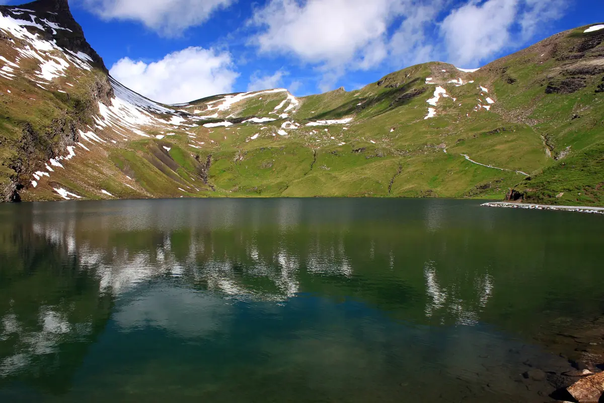
The walk from the First top station at 2,168 metres to the Bachalpsee at 2,265 metres is the best starting point if you are new to mountain hiking. It is graded easy and described as family-friendly. Grindelwald Tourism gives 5.8 km there and back with 1 hour 40 minutes of walking, the Jungfrau Railways about 2 hours including stops.
The First gondola takes 25 minutes and costs CHF 76 return for adults in 2026, half price with a Half Fare Card or Swiss Travel Pass. It runs until 25 October 2026, then closes for revision until 27 November.
Royal Walk and the panorama trail on Männlichen
The Männlichen gondola leaves from the Grindelwald Terminal and reaches the top station at 2,225 metres in 19 minutes. In summer 2026 it runs from 23 May to 25 October. An adult return costs CHF 68, half price with a Half Fare Card or Swiss Travel Pass, and it is free with the Jungfrau Travel Pass and the Berner Oberland Pass. Overnight guests get 30 % off with the guest card in summer.
The Royal Walk climbs 120 metres in 1 km from the top station to the summit viewpoint: 25 minutes up, 15 minutes down, open from May to October. The panorama trail to Kleine Scheidegg is 4.5 km and takes about 1 hour 20 minutes and ends at Kleine Scheidegg, right below the Eiger. It is usually open from mid-June to October. A round-trip ticket for this route (Terminal to Männlichen, then Kleine Scheidegg to Grindelwald Grund by train) costs CHF 74.60.
Eiger Trail: right below the north face
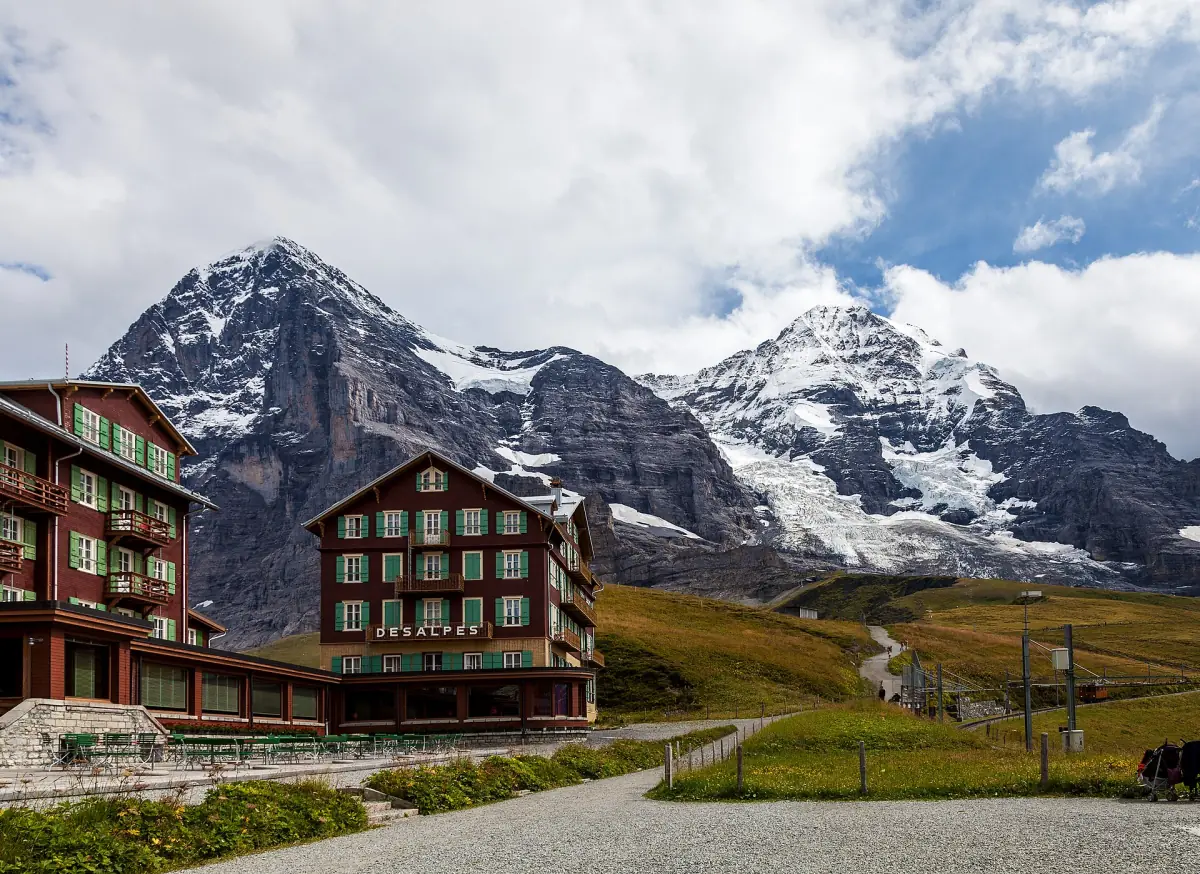
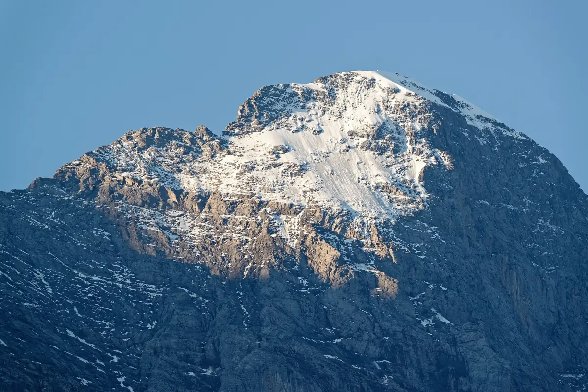
The Eiger Trail runs from Eigergletscher at 2,320 metres down to Alpiglen: 6.1 km, about 2 hours, 78 metres up and 779 metres down, graded medium. The highest point is 2,346 metres. Uphill from Alpiglen it takes about 2 hours 30 minutes.
You reach the start with the Eiger Express from the Grindelwald Terminal in 15 minutes. From Alpiglen the train takes you back to Grindelwald, CHF 18 one way for adults (August 2026). Both are included in the Jungfrau Travel Pass. The trail opens depending on snow and weather, so check conditions before you go. Note the revision dates: the Eiger Express is closed from 9 to 20 November 2026, the train between Grindelwald and Kleine Scheidegg from 26 October to 6 November.
Pfingstegg, Milchbach and Bäregg
The Pfingstegg cable car climbs from the south edge of the village to 1,387 metres in under 5 minutes. In 2026 it runs from 25 April to 25 October. Adults pay CHF 20 one way or CHF 32 return, CHF 10 or CHF 16 with a Half Fare Card, GA or Swiss Travel Pass, and CHF 17 or CHF 27.20 with the guest card or the Jungfrau Travel Pass. It is free with the Berner Oberland Pass.
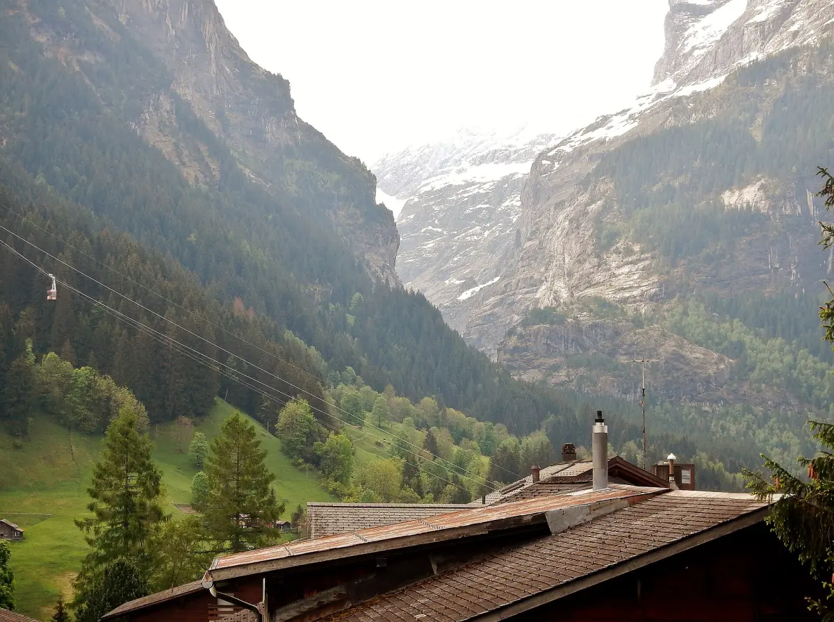
From Pfingstegg to Milchbach and on to the Upper Glacier area at Hotel Wetterhorn takes about 1 hour, mostly downhill, including the Breitlouwina tunnel. You need sure footing, and parts of the route cross rockfall zones. A bus takes you back to the village.
The UNESCO theme trail to Bäregg takes about 1 hour 30 minutes one way, 2 hours 30 minutes to 3 hours return. As a loop it is 5.58 km with 428 metres of climbing. The Berghaus Bäregg closes for winter from 11 October 2026, and in October 2025 the trail was closed after the hut closed, so check on site.
Schynige Platte to First via the Faulhorn
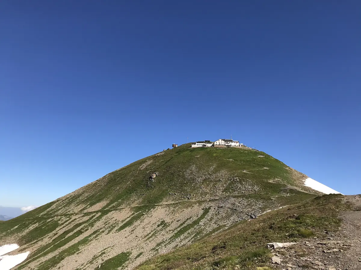
The long ridge hike from Schynige Platte via the Faulhorn to First is 16 km and takes about 6 hours, graded medium. The Faulhorn at 2,681 metres can only be reached on foot. Its Berghotel has stood on the summit since 1830 and closes for winter from 5 October 2026.
The Schynige Platte railway runs from 13 June to 25 October 2026 and is included in the Jungfrau Travel Pass in summer. Start early, because you finish at First and need the gondola down to Grindelwald.
Season and safety basics
Most problems on Grindelwald trails come from timing and weather, not from the trails themselves.
When to go
Most summer lifts run from late May to 25 October. High trails such as the Männlichen panorama trail are usually free of snow only from mid-June. From late October many lifts close for revision, and many huts close from mid-October.
Watch the last lift
Plan your hike backwards from the last ride down. On Männlichen, for example, the last descent in summer 2026 is at 17.00 or 17.30, depending on the period.
Gear and weather
Wear proper hiking shoes and carry a rain jacket, a warm layer, water and sun protection. Weather above 2,000 metres changes fast. Turn back if clouds or thunderstorms build up.
Check closures
Snow, rockfall and hut closures can shut trails at short notice, especially the Eiger Trail and the route to Bäregg. Ask at the valley stations or the tourist office before you set off.
Plan your hiking days
Detailed guides for each area, and what to do when the snow arrives. In winter Grindelwald has 70 km of winter hiking trails.
Grindelwald First
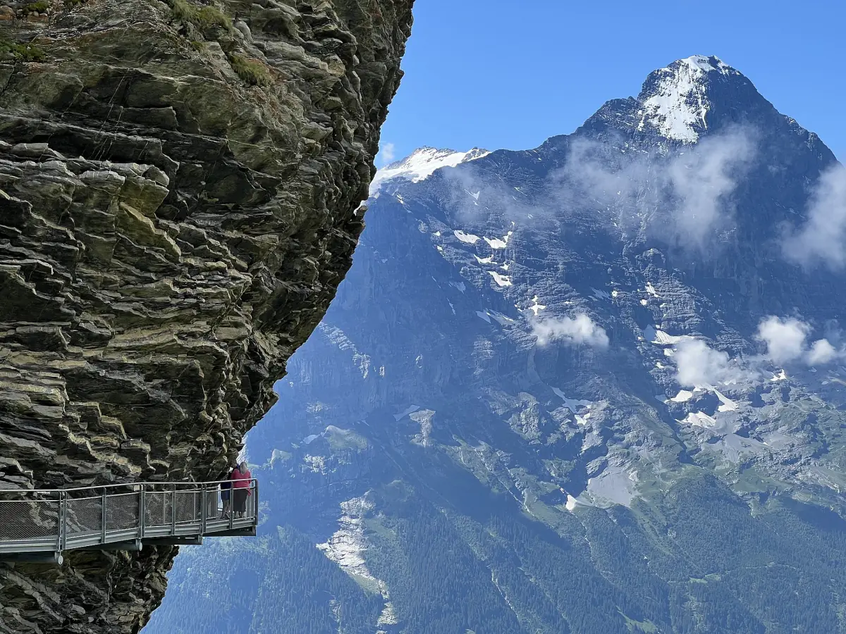
Gondola prices, the free Cliff Walk and the rides back down to the village.
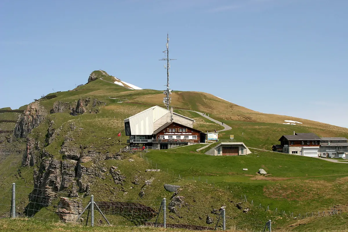
Männlichen
Royal Walk, panorama trail and the 2026 gondola times.
Eiger Trail
Six kilometres below the Eiger north face, from Eigergletscher to Alpiglen.
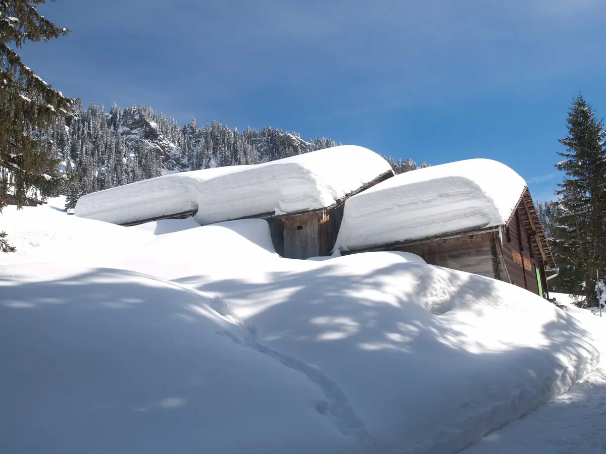
Grindelwald in winter
Winter hikes, sledge runs and skiing, with 2026/27 dates.
Hiking in Grindelwald: frequently asked questions
What is the easiest hike in Grindelwald?
The walk from First to the Bachalpsee: 5.8 km return, about 2 hours, graded easy and family-friendly. The Royal Walk on Männlichen is even shorter at 2 km return, but it climbs 120 metres.
Which Grindelwald hike has the best Eiger views?
The Eiger Trail runs directly below the north face. For an easier day, the panorama trail from Männlichen ends at Kleine Scheidegg, right below the Eiger.
When does the hiking season in Grindelwald start?
The lifts open between late April (Pfingstegg) and late May (Männlichen), but high trails are usually free of snow only from mid-June. Late June to September is the most reliable period.
Do I need the Jungfrau Travel Pass for hiking?
Not necessarily. It pays off if you use several lifts on three or more days: it covers First, Männlichen, the Eiger Express, the train from Alpiglen and, in summer, the Schynige Platte railway. For one or two lift rides, a Half Fare Card or Swiss Travel Pass discount is often enough.